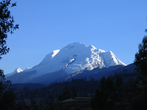
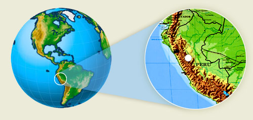
Vicos is situated 450 kilometers (270 miles) northeast of Lima on the western flank of the Cordillera Blanca, the highest tropical mountain range in the world. Huscarán, the highest peak, towers above the rest of the range at 6,768 meters.
Because of the cultural and biological diversity of this area, the Huascarán National Park (HNP) was created by the Peruvian State in 1975 and was designated the UNESCO World Heritage Site in 1985. In 1977 UNESCO and the Peruvian State established the Huascarán Biosphere Reserve (HBR) to include the national park and surrounding areas.
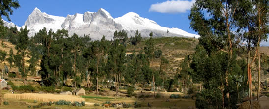
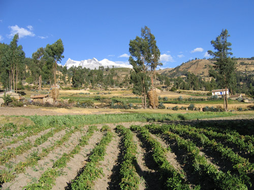
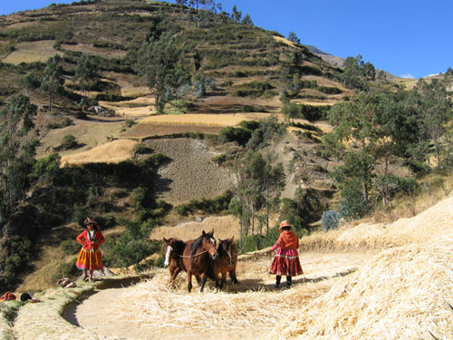
Vicosino territory extends from 2,800 to almost 5,000 meters above sea level (9,000 to 15,000 feet) and covers an ample 18,000 hectares (46,000 acres). The topography of the area is varied, including flat, alluvial lands and snow-capped peaks. Valleys are utilized for cultivation and high plains are used as pasture lands. Only 25 % of the total area is either cultivated or used as range land.
A Brief Tour of Vicos
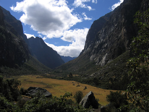
The Quebrada Honda, a deep valley at the upper level, is a productive and sacred space that provides sustenance and protection by Pacha Mama (Earth Mother) and the Apus (the Mountain Deities) to the local population.
 Introduction